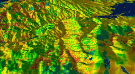
Infusing National Fuels Data with Airborne LiDAR Data
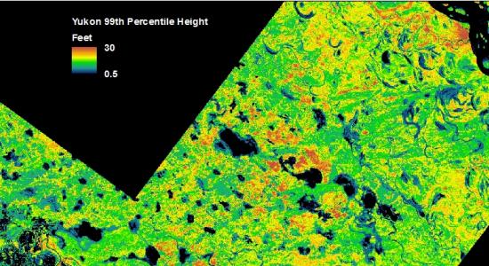
The national LANDFIRE fuels layers used for fire behavior prediction are limited in their characterization of forest structure. Accurate forest structure metrics are important for predicting crown fire initiation and spread. FireCenter scientists have partnered with the USFS and USGS to infuse LANDFIRE with improved forest height and cover measurements derived from LiDAR. We are testing the resultant fuels layers in fuel beds of Interior Alaska, the Rocky Mountains, and Florida. The end-product of these efforts is a tool that allows fire managers to enhance local fuels where LiDAR data are available.