Fire Restrictions Web Application
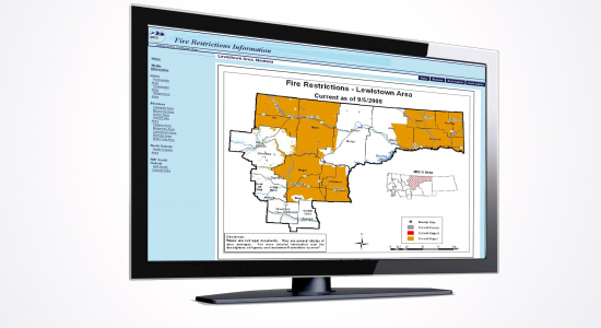
Summer in the Northern Rockies can mean an increased risk of wildfire, which can lead to restrictions and closures on public lands. The FireCenter cooperated in an effort with the Northern Rockies Coordination Group to develop an internet map-based fire restrictions web site. The public can easily check on the restrictions and closures that are in place during fire season using a Google map-based web site. Wildland fire restrictions are implemented for a specific geographical area and coordinated by federal, state and county agencies in that area. Weather, moisture in the vegetation, number of human-caused and natural fire starts, firefighting resource availability and other factors are considered to determine if wildland fire restrictions are needed. Restrictions cover activities such as building campfires, smoking, operating an internal combustion engine, welding, using explosives and operating vehicles off-road or off-trail. The website identifies each geographical area with restrictions by highlighting them on a map and providing written text about the restrictions to assist the public. The initiation of this project prompted the creation of a national fire restrictions clearinghouse web site that currently houses links to eleven geographic area’s regional restrictions information.
